THE WORLD OF RAILROADS PROJECT
Map Data: Google Earth, SIO, NOAA, U.S. Navy, NGA, GEBCO. Image Landsat/Copernicus.
North America
These files map railroads across North America. They are organized by railroad (Central America is organized by country), with some classic-era company-specific files for major railroads.
Some territories and borders may shift over time. Files are organized by general Western recognition at the time the files were constructed.
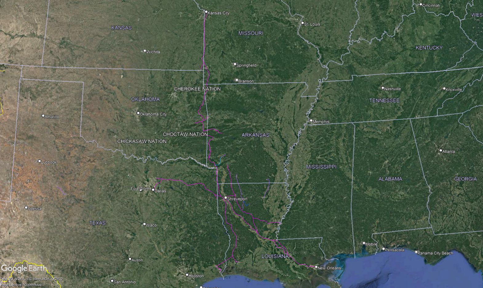
Blue links will allow you to download the zip files, which can be unzipped and opened in Google Earth.
Menu
Class One Railroads
Short Lines
Short Lines
Please note this file is still a work in progress and will be updated as the project progresses. Current inclusions:
- ALM: Arkansas, Louisiana, and Midland
- ARR: Alaska Railroad
- BAP: Butte, Anaconda and Pacific
- CR&NW: Copper River and Northwestern
- GB&W: Green Bay and Western
- G&NA: Graysonia, Nashville and Ashdown
- HCR: Hawaii Consolidated Railway
- LNW: Louisiana and North West
- MNSW: Murfreesboro, Nashville and Southwestern
- NLG: North Louisiana and Gulf
- OR&L: Oahu Railway and Land Company
- RSP: Roscoe, Snyder and Pacific
- TM: Texas Mexican
- UO: Union Railroad of Oregon
- WP&Y: White Pass and Yukon
States and Provinces
City Transit
New York City
New York City Subway and PATH